D’Iberville, MS | CRS Activity 610
Overview
This project supported the City of D’Iberville in developing a flood response plan for FEMA’s Community Rating System (CRS) Activity 610.
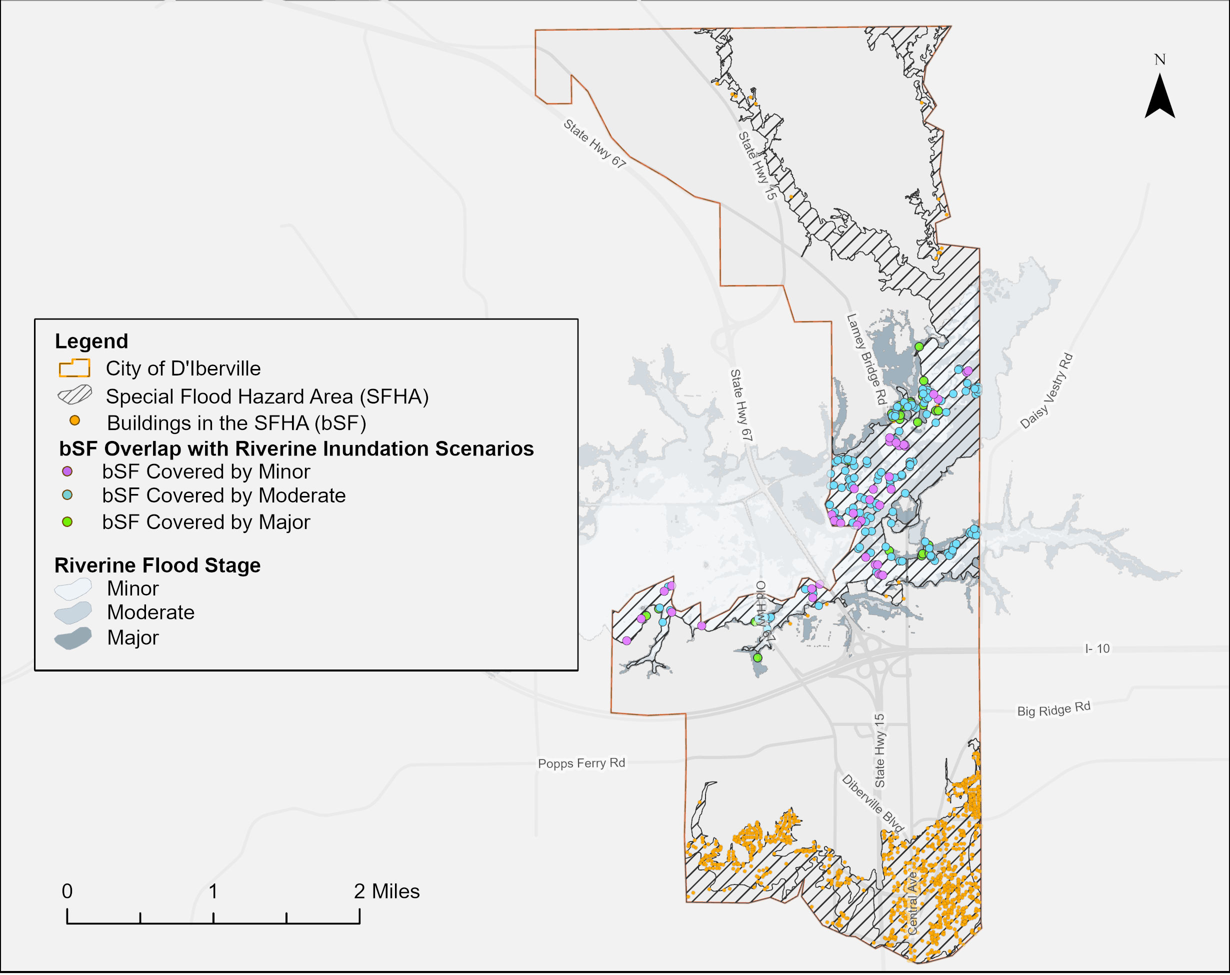
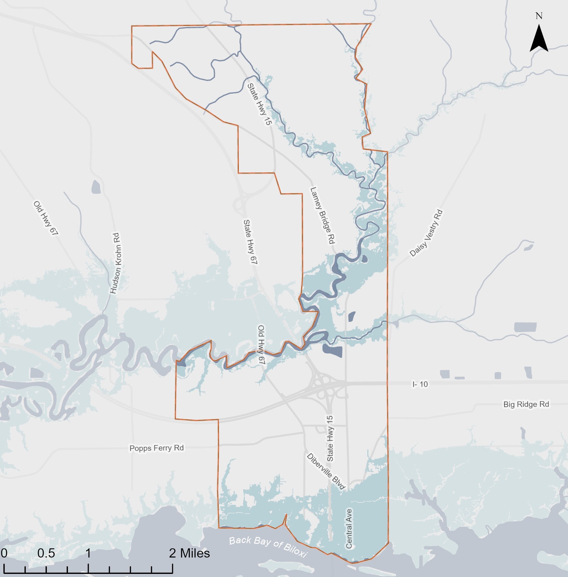
My role was to characterize building exposure under coastal storm surge and riverine flood scenarios. Using R, I calculated the proportion of buildings exposed to different flooding conditions and used ArcGIS Pro to map flood extent, depth, affected structures, and overlap with the Special Flood Hazard Area (SFHA). The analysis incorporated NOAA riverine flood stages and hurricane storm surge scenarios to provide a consistent basis for evaluating flood exposure across the city.
My Role & Contributions
- Flood Scenario Development: Evaluated Category 1 and Category 3 hurricane storm surge alongside minor, moderate, and major riverine flood stages.
- Building Exposure Analysis: Integrated flood inundation data with building footprints to quantify the proportion of structures exposed under each scenario.
- Critical Facilities Assessment: Geocoded and mapped critical facilities to support identification of potentially affected infrastructure.
- Planning Coordination: Participated in stakeholder meetings to align flood scenarios with existing community forecasting and response protocols.
Data
Coastal scenarios: SLOSH
Riverine scenarios: NOAA Riverine Flood Inundation
Local building footprints
Application
The resulting maps and exposure estimates support scenario-based flood response planning by identifying where structures and critical facilities may be affected as flood conditions intensify.